Cards (31)
north, south, east, and west
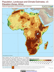
show the height of the land
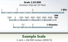
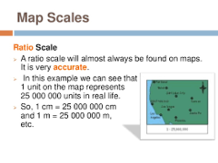
Map feature that tells how the distance between objects on a map relates to their distance in real life
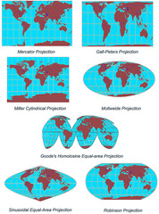
change in the shape and size of an object
the study of the Earth, its physical features, and the way living things use the Earth
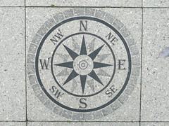
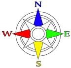
Map feature that shows which direction the map is facing

a map scale that used a straight line, like a number line or a ruler
Map feature that tells what the map is about
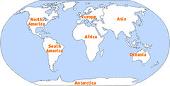
the largest areas of land on Earth
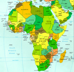
The equator passes through the middle of this continent
has many rainforests
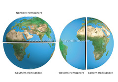
half of a sphere
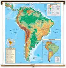
show natural features, such as landforms and bodies of water
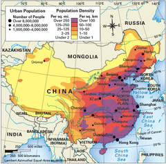
show how many people live in an area
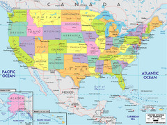
show human features, such as borders between states or countries
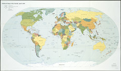
a flat model of the Earth
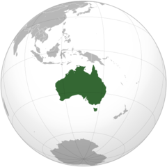
the smallest continent
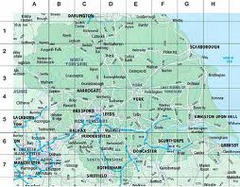
Map feature that is a pattern of rows and columns that tell you where objects are. Each object is in only one row and column.
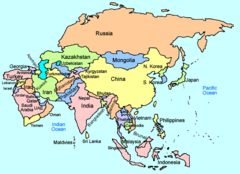
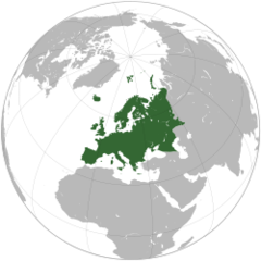
the largest continent
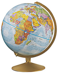
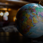
a model of the Earth shaped like a sphere
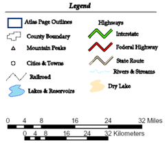
Map feature that explains what the symbols on a map mean
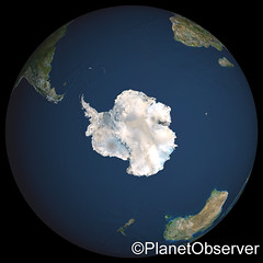
a frozen desert
The most crowded continent
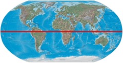
the imaginary line that divides the Earth into northern and southern parts
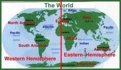
the imaginary line that divides the Earth into eastern and western parts
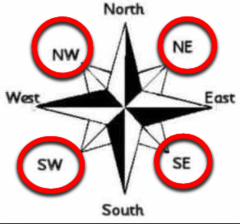
the directions in between the cardinal directions; northeast, southeast, northwest, southwest
the largest areas of water on Earth
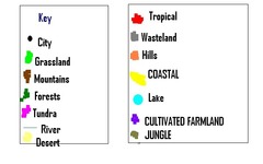
pictures on a map that represent something in the real world
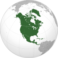
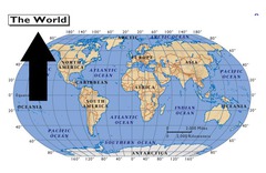
Where we live
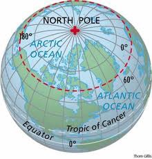
the areas at the top and bottom of the globe
a map scale that uses words